
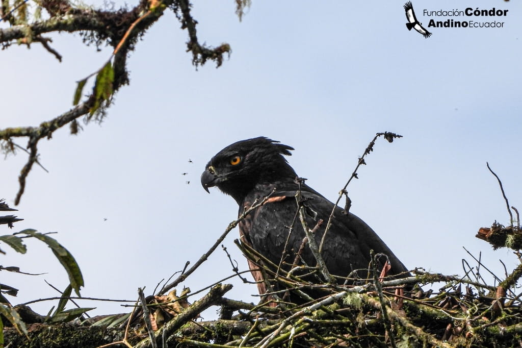
High in the mountains of southern Ecuador, in the Gualaquiza canton of Morona Santiago, a rare bird keeps watch over the transition where the Andes meet the Amazon. The black-and-chestnut eagle (Oroaetus isidori)—known locally as the “Jaguar of the Skies”—is a symbol of these misty heights. For this endangered eagle to survive, it requires the vast, undisturbed primary forests now protected by the Runahurco Water Protection Area.
Protecting Runahurco means securing water for thousands of families while safeguarding one of the most threatened raptors in the Andes-Amazon transition zone.
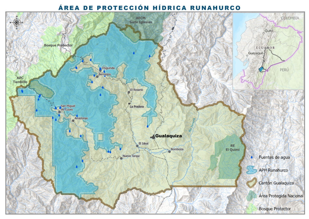
Covering 178,065 acres (72,061 hectares) and established on August 27th, 2025, this area is the second-largest water sanctuary in Ecuador, surpassed only by the Aguarico Chingual Cofanes Water Protection Area. It creates a legal shield from mining and other threats for ecosystems that are essential for both local water security and the survival of species on the edge. The area protects the subsurface from mining.
The True Wealth of the Forest
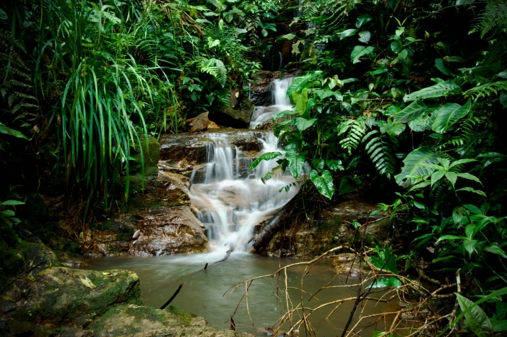
Runahurco serves as a natural water tower. Within its borders, more than 90% of the territory remains almost intact, a mosaic of páramos, Yungas (cloud forest), and rivers that maintain the ecological balance of the region. These high-altitude ecosystems act as a giant sponge, capturing rain and mist to feed the Cuyes and Cuchipamba Rivers, which then form the Bomboiza River.
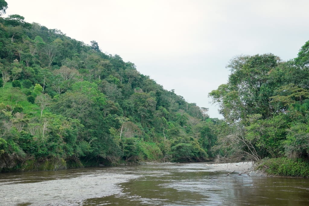
These are a matter of survival for more than 14,000 people living in communities like Chigüinda, Amazonas, and Bomboiza. These rivers provide the water used for drinking, agriculture, and more. As Francis Pavón, Mayor of Gualaquiza, stated: “To speak of Runahurco is to speak of water; it is to speak of the continuity of life.”
The “Mountain of the Runa”
The name Runahurco comes from the Kichwa language and means the “Mountain of the Runa” or the “Mountain of the People.” It reflects an ancestral relationship in which the Runa—the person who walks and works the land—lives in balance with the water. The establishment of the Water Protection Area (WPA) is a response to the community’s desire to safeguard their resources against activities that could compromise the environment.
Giomayra Lalvay Jarro, a resident of the La Florida community in the Nueva Tarqui parish, shared the relief felt by the community: “I felt an immense joy when they said the WPA was already approved. We were afraid because of the threats, but now we know that our water sources will be protected. Runahurco is a spectacular place, with so much fauna and flora that it is worth conserving every last bit.”
This local commitment is also supported by experts. Sebastián Kohn, President of Fundación Cóndor Andino, noted the biological significance of this establishment: “The WPA Runahurco is today one of the most important refuges for the Andean eagle in southern Ecuador. Its presence confirms the ecological quality of the area and its role as a key biological corridor between the Andes and the Amazon.”
A Bridge for Wildlife
By keeping these forests connected, the WPA functions as a core zone within the Sangay–Podocarpus Connectivity Corridor. This allows animals like the vulnerable Andean bear (Tremarctos ornatus) to roam freely between the high Yungas (cloud forest) and the Amazonian lowlands. These corridors are essential for genetic exchange and species mobility, preventing wildlife from becoming trapped in isolated islands of forest.
Acknowledgements
This achievement was made possible by local communities and the Municipal Government of Gualaquiza with key support by the Sole Water Authority. Technical support was provided by Fundación Cóndor Andino and Nature and Culture International with financial contributions from the Wyss Foundation and Art into Acres via Andes Amazon Fund, Re:wild, and the Stockel Family Foundation.
MAKE AN IMPACT
Learn how we can make an impact in our world together. Donate or get involved by subscribing to our email list: