The formalization of the country’s first eight Indigenous Territorial Entities marks a new Indigenous-led land governance model that encompasses 15% of the Colombian Amazon region.
The area spans Orinoquian ecosystems alongside the Guaviare River including subtropical forest, savannahs, and important bodies of water such as the Veradal Lake.
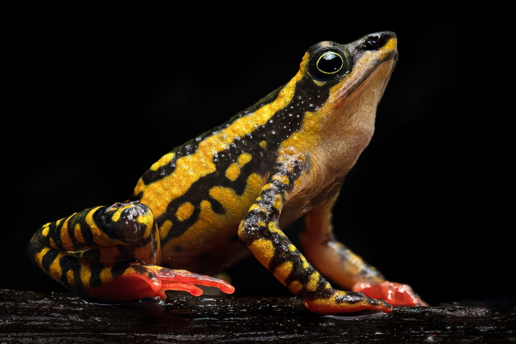
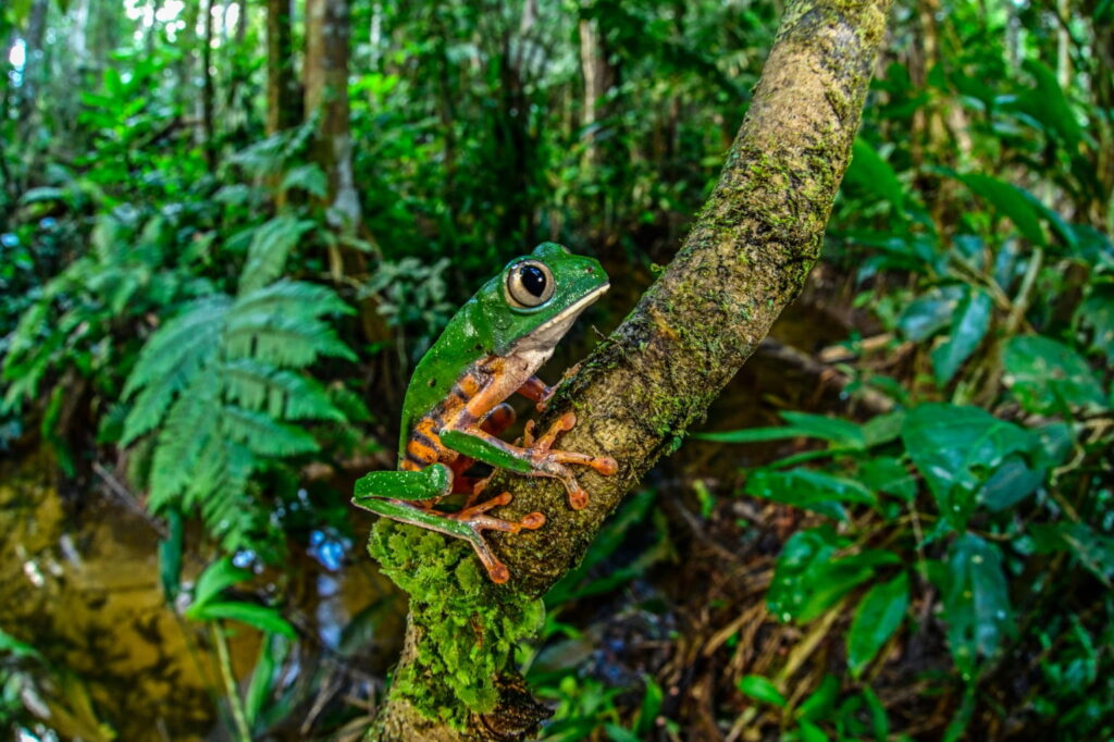
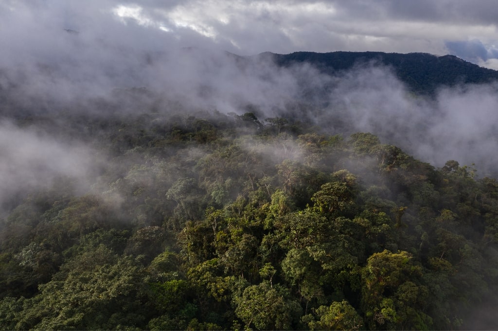
The newly protected area is home to an estimated 1,267 wildlife species, including 13 endemic species found nowhere else but Bolivia.
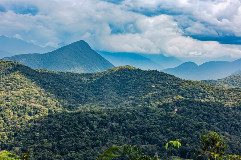
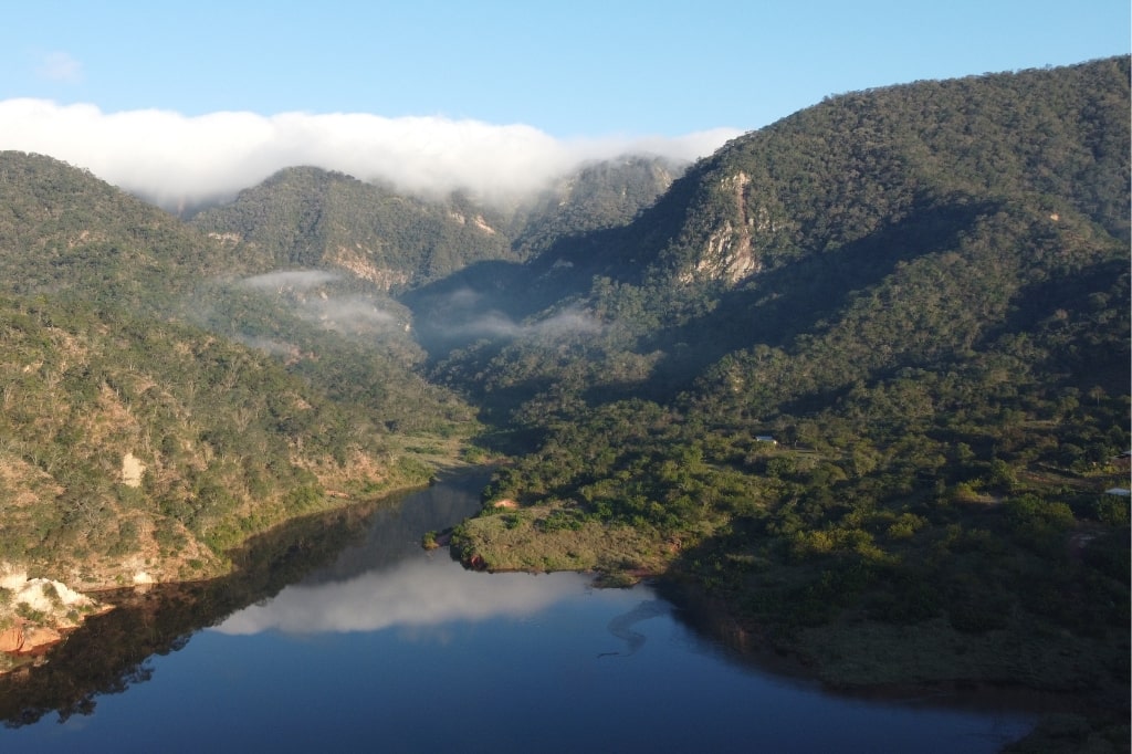
Gran Paitití de Mapiri serves as a connectivity corridor for wildlife moving between the Amazonian lowlands and the Andean highlands, contributing to a broader conservation mosaic that connects some of Bolivia’s most important protected areas, such as Cotapata and Madidi National Parks.
Together these two areas span a combined 1,817,247 acres (735,414 hectares) of intact Amazonian forests and water sources that connect with an extensive conservation mosaic in the Department of Pando. This is a significant step forward for the conservation of the Western Amazon that consolidates key ecological connectivity in the Peru-Bolivia-Brazil transboundary region.

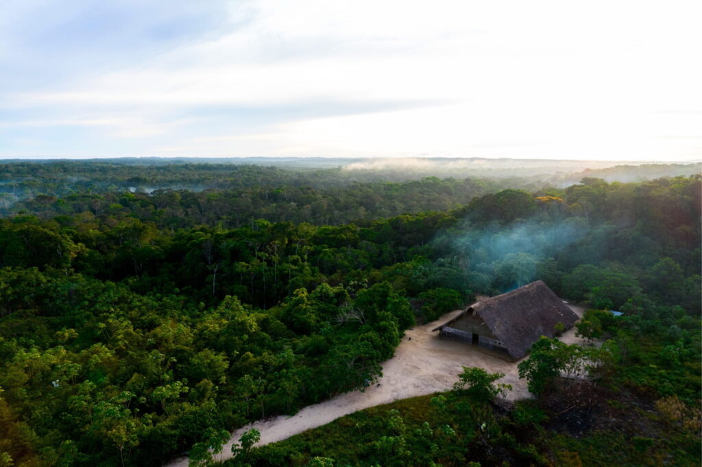
The Nueva York Private Conservation Area spans 8,454 (3,421 hectares) of vital Amazonian flooded forests and palm swamps along the Tigre River in Peru’s Loreto region. The initiative, driven by the Kukama-Kukamiria Indigenous People of the Nueva York Native Community with the technical support of grantee Amazónicos por la Amazonía (AMPA), recognizes the community protection of a portion of the Kukama-Kukamiria Peoples Territory, safeguarding an ecological important area.
Over 200,000 acres of Chaco-Andes transitionary ecosystems in Bolivia’s Department of Chuquisaca are now protected with the establishment of the Serrania de Mandiyurenda Natural Integrated Management Area (Área Natural de Manejo Integrado y Gestión Comunitaria del Agua y Biodiversidad). The area was declared on April 30, 2025, by the Indigenous Guaraní Huacaya Autonomous Government.
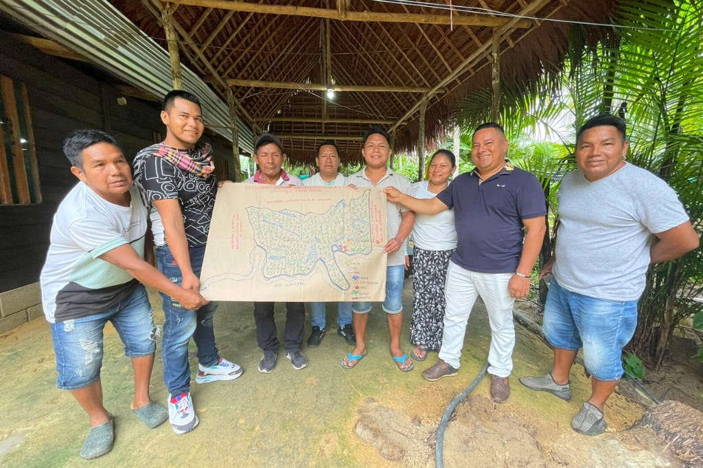
After more than 20 years of persistent effort, the organization representing the Tacana II Indigenous Communities of the Madre de Dios River (CITRMD) was officially granted the formal title to their ancestral lands as a Communal Indigenous Territory (TIOC). This important achievement grants collective territorial rights over a biodiverse area spanning 673,065 acres (272,380 hectares) of Amazonian forests in the Department of La Paz in Bolivia, near the border with Peru. The titling process was completed on July 10, 2025, with the formal granting of the land title issued by Bolivia’s National Agrarian Reform Institute (INRA). The title for the Tacana II Communal Indigenous Territory, called a TIOC in Bolivia, represents an important win for the territorial rights of the Tacana Indigenous Peoples and Amazonian biodiversity conservation.
The area encompasses over 517,156 acres (209,286 hectares) of tropical forests, seasonally flooded savannas, alluvial plains, the meandering Negro River, and ancient geological formations of the Precambrian shield. This new protected area designation is a testament to the strength of community-led conservation and safeguards the area against environmental threats.
Peru’s Second National Convention for the Exchange of Experiences Among Regional Conservation Areas, held on August 13-15, 2025 and organized by the Regional Government of Cajamarca, brought together over 200 environmental representatives from Peru’s 26 regional governments who are directly responsible for the promotion, creation, and management of the country’s Regional Conservation Areas.